Dexman PE PMP
Internationally PMP'n his PE-ness
http://www.14ers.com/flash/overviewtopos/overviewmaps.php?peak=Mt.+Evans
We did route #3.
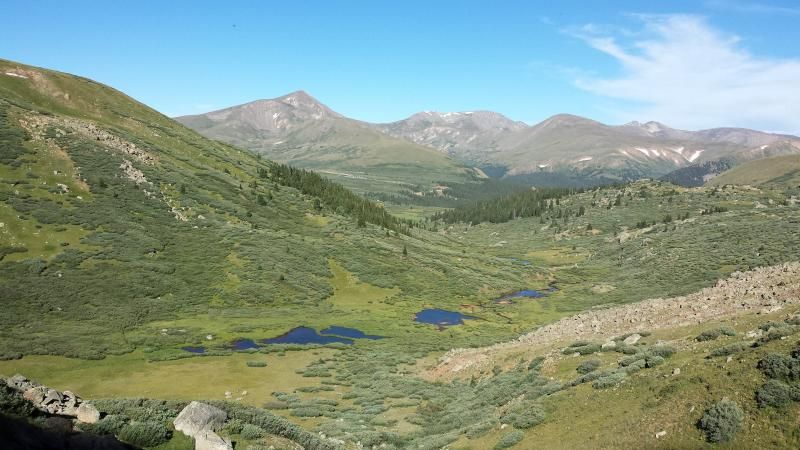
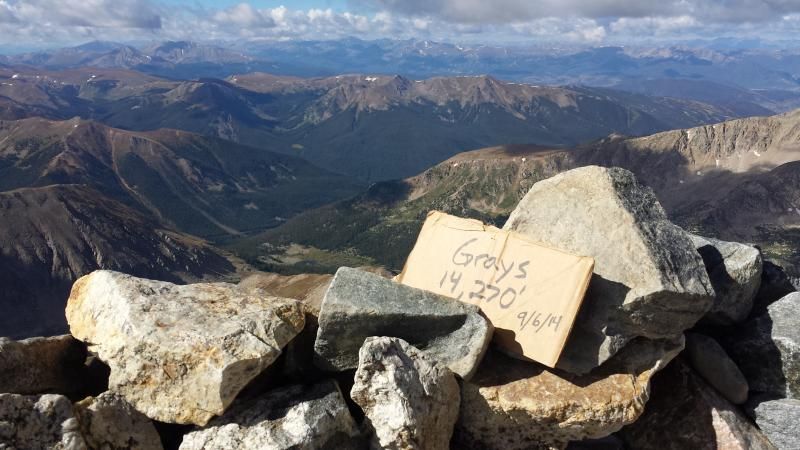
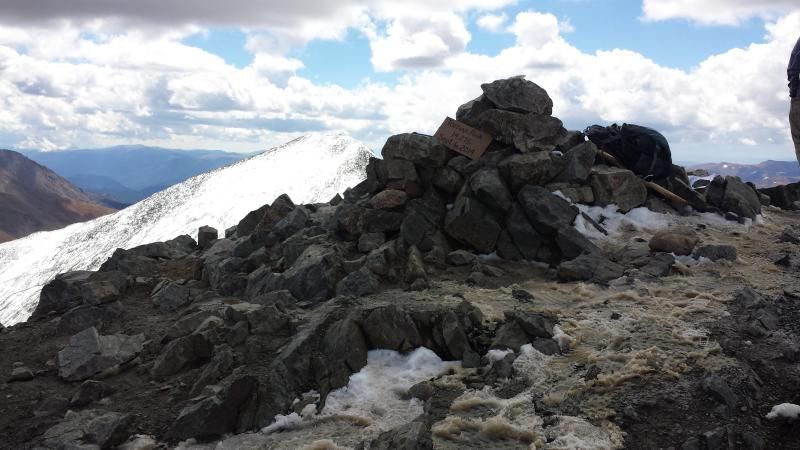
The majority of the hike was wide open. The trail starts in the same parking lot as Bierstadt and the first half mile of trail is shared. After that, we didn't see more than 2 people until we got up to the saddle between Spalding and the sawtooth. From there, we merged with the West Ridge trail which was a little busier. A few more people joined in once we merged with the North Face trails. The summit was a mad house because of all the tourists who drove to the top and can walk the last couple hundred feet. Hard to get any good pictures without anyone in it which is why all of my pics are to the north or west. The parking lot was to the south and looked like we were at the grocery store on a Sunday afternoon, and not at 14,000 feet.
We originally wanted to cut across the sawtooth (class 3 trail) over to Bierstadt so Mrs Dex and a couple others in our group (6 of us drove up together) could claim that summit as well, but the weather got bad at just the right time to push everyone off the tipping point of doing a more challenging trail. Had we gone that way, we would have done Route #4 of this map in reverse:
http://www.14ers.com/flash/overviewtopos/overviewmaps.php?peak=Mt.+Bierstadt
So we doubled back the way we came and only saw 5 people along the trail with us. It was fortunate there was a couple following us as our driver lost his keys about a mile from the car and they just happened to find them.
Probably my favorite pic of the trip:

Last edited by a moderator:


